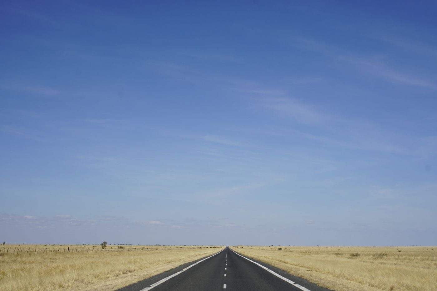
The six most underrated places in South Africa are Montagu, Graaff-Reinet, Matjiesfontein, Coffee Bay, Kgalagadi Transfrontier Park and the West Coast flower fields. Each sits well off the Cape Town, Kruger and Garden Route circuit, and all repay a night or two rather than a quick stop. Most need a hire car and some distance in the legs.
We picked these for contrast: a hot-spring town, a Karoo heritage town, a time-capsule village, a wild coast, a remote predator park and a seasonal flower display. Each links to our full guide. Fees and times are approximate as of 2026, so confirm before you go.
| Place | Where and how far | Key figure |
|---|---|---|
| Montagu | About 180 km east of Cape Town on Route 62 | Mineral springs at about 43°C |
| Graaff-Reinet | Karoo town founded in 1786 | Valley of Desolation 14 km north, columns over 120 m |
| Matjiesfontein | About 240 km east of Cape Town on the N1 | Lord Milner Hotel built in 1899 |
| Coffee Bay | About 210 km from East London | Three to three and a half hours, last 30 km gravel |
| Kgalagadi | About 840 km from Cape Town via Upington | Nearly 38,000 sq km, eight to nine hours’ drive |
| West Coast flowers | Postberg, one to one and a half hours from Cape Town | August and September only |
1. Montagu
Montagu sits at the head of the Cogmans Kloof gorge in the Western Cape, about 180 km east of Cape Town on Route 62, the scenic inland alternative to the N2. The town was established in 1851, and its main street has Victorian buildings and fruit stalls. Mineral springs emerge at about 43 degrees Celsius and have been used commercially since 1876.
Why go: thermal pools, rock climbing in the gorge and a relaxed Route 62 stop. Getting there: hire a car in Cape Town and allow about two and a half to three hours.
Local tip: Montagu works well as an overnight on a Route 62 drive instead of a rushed lunch stop. Read the full Montagu guide and see our Montagu tours.
2. Graaff-Reinet
Graaff-Reinet was founded by the Dutch East India Company in 1786 and is the oldest town beyond the coastal strip. The Sundays River loops around it, and Camdeboo National Park surrounds it, which has helped preserve a large stock of historic buildings.
Why go: the Valley of Desolation, 14 km north of town, where dolerite columns more than 120 m tall rise from the valley floor. Two trails of about 3.5 km start at the viewpoint. Best time: early morning and late afternoon, when the rock turns amber.
Local tip: confirm the current Camdeboo fee on SANParks before you go, because tariffs change each 1 November. See our Graaff-Reinet guide and guided Graaff-Reinet tours.
3. Matjiesfontein
Matjiesfontein is a single street of Victorian buildings in the middle of the Karoo, about 240 km east of Cape Town on the N1. James Douglas Logan founded it in the 1880s as a railway stop, and built the Lord Milner Hotel in 1899. During the Anglo-Boer War it served as a headquarters and hospital for British troops.
Why go: the village has no chain shops or modern developments, and the stars over the Karoo are exceptional. Getting there: it is an easy stop on the N1 between Cape Town and Johannesburg.
Local tip: an overnight stay gives you the quiet after the day visitors leave. Read the Matjiesfontein guide, or check availability for the Lord Milner Hotel.
4. Coffee Bay and the Wild Coast
The Wild Coast is about 280 km of cliff, river and beach in the Eastern Cape, between the Kei River mouth and the KwaZulu-Natal border. It is the least developed stretch of the South African coastline. Coffee Bay is the easiest entry point, a village with backpacker lodges and reliable electricity.
Getting there: from East London it is about 210 km, a drive of three to three and a half hours, with the last 30 km on well-graded gravel. The Baz Bus runs along the N2 and drops guests at Coffee Bay backpackers on request.
Local tip: allow extra time after rain, when the gravel section slows. See the full Wild Coast and Coffee Bay guide.
5. Kgalagadi Transfrontier Park
Kgalagadi covers nearly 38,000 sq km on the border of the Northern Cape and Botswana, which is more than twice the size of Kruger. It has no buffalo, so it is not a Big Five park, but it is known for black-maned Kalahari lions, cheetah, leopard, brown hyena, meerkats and large sociable weaver nests.
Getting there: the nearest town is Upington, which has a regional airport. From Cape Town the drive is about 840 km and eight to nine hours. Most visitors fly to Upington and hire a car for the park.
Local tip: the park rewards slow driving along the dry riverbeds, so plan several nights, not a day trip. See our Kgalagadi guide.
6. The West Coast Flower Fields
Every August and September, the semi-arid coast north of Cape Town turns orange, white and yellow. The best-known site is the Postberg section of West Coast National Park, about one to one and a half hours from the city, which opens only in the flower season. Further north, the Namaqualand daisy fields around Kamieskroon give the carpet-to-the-horizon views.
What to know: timing depends on winter rain and can shift by two to three weeks, and SANParks announces the exact Postberg dates each season. Local tip: check recent sightings reports in the days before you travel. Read the full West Coast and Namaqualand flower guide.
Combining Them
A Karoo loop from Cape Town can link Montagu, Matjiesfontein and Graaff-Reinet over four or five days. Kgalagadi suits a separate trip via Upington, and the West Coast flowers fit a day out from Cape Town in season. For route ideas, see our Cape Town to Kruger road trip and self-drive guide.
Plan roughly one overnight in each Karoo stop and three or more nights at Kgalagadi. If you only have a week, choose one region rather than driving between all six, because distances are long and the roads are quiet but slow in places.